


12.2 km | 27 km-effort


User


FREE GPS app for hiking
 SityTrail
IGN / Geographical institutes
SityTrail World
The world is yours!
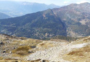
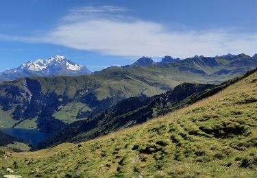
Trail Mountain bike of 31 km to be discovered at Auvergne-Rhône-Alpes, Savoy, La Léchère. This trail is proposed by bebe73200.
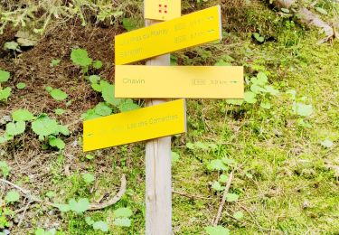
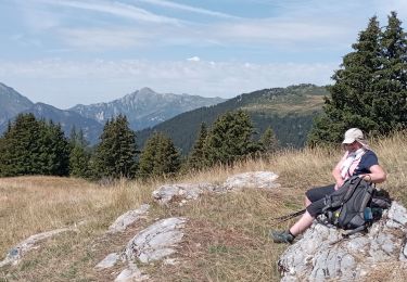
prendre variante au chalet de bizard (le sommet dur en vtt mais super point de vue )
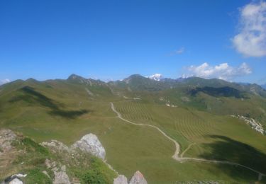
Walking
Walking
Walking
Touring skiing
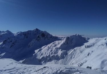
Touring skiing
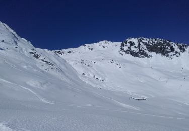
Touring skiing
Walking
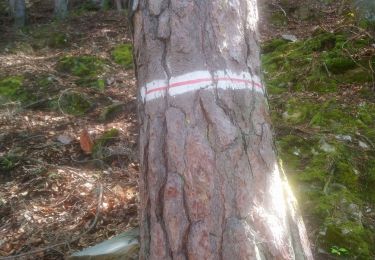
Walking
Walking